
West Covina Neighbors: Source Map
A block search combines map geometry, parcel facts, recorded documents, and public-facing community sources. The source table keeps “who owns this parcel,” “what is next door,” and “which organization has a public contact” from being mistaken for the same neighbor question.
| Source | What It Shows About a Block | Access |
|---|---|---|
| West Covina GIS Hub and Assessor map | Parcel shapes, AINs, streets, planning context, adjacent geometry | Free map browse |
| Assessor parcel system | Parcel facts and owner or mailing fields through the proper route | Address/AIN web facts; owner district-office route |
| RR/CC recorded documents | Named title parties and prior transfers | Norwalk name/year index and paid copies |
| City permits and code files | Address-specific work, cases, applicants, and dates | West Covina CPRA request |
| Voter tools | Individual registration facts within California rules | Individual tool or permitted-use request |
| Civic and community sources | Public contacts, organizations, service areas, and history | Published pages or direct inquiry |
Neighbors may be adjacent parcels, public contacts, historical households, or people encountered in a community setting. The map starts the block. It does not fill in every household member.
Click Around a West Covina Address
The adjacent-parcel method is the safest way to map West Covina neighbors. Search the target address or AIN in the city GIS Hub or county Assessor map. Zoom until parcel boundaries are clear. Select the target parcel, then pan and click the polygons on both sides, behind the parcel, and across the street. Record each AIN before moving to a different map scale.
Use the AIN as the stable key when street strings vary. The GIS map can show proximity, streets, zoning or planning context, and municipal boundary clues. The Assessor detail can add use, values, year-built fields, and parcel-change information. Neither map is a legal survey, and neither proves the person who is physically present at the address.
The West Covina GIS Hub is the official city map and data landing page.
The West Covina Resource Directory is the public-contact source shown below.
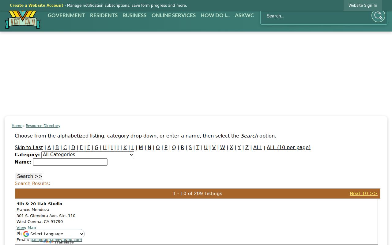
A public directory can complement the parcel map with organization contacts, but it cannot turn adjacent polygons into a resident roster.
Build the West Covina Block With AINs
After the map walk, make the research path explicit. The address identifies the starting parcel. The AIN carries the parcel to the Assessor. The owner-information route supplies a name when the question concerns title. RR/CC uses that name and a likely year. City records return to the exact address. Community sources add public affiliations without claiming private membership.
- Mark the target parcel, side-adjacent parcels, rear-adjoining parcels, and parcels across the street.
- Record each AIN, situs address, displayed city, ZIP, and municipal-boundary note.
- Use the Assessor's official owner-information channel only when an owner field is necessary, and keep its date.
- Send focused city permit or code requests by address and date range, not a request for every person on the block.
- For a whole named street, switch to the West Covina street-by-street record chain rather than expanding the neighbor radius.
This process starts with the parcel map. It distinguishes an adjacent owner from an adjacent resident and a public contact from a private member. It also makes a correction possible when one parcel was selected by mistake.
West Covina Civic and Group Contacts
No authoritative open HOA or neighborhood-association membership directory was located for West Covina. The public inventory is narrower: police service areas, Neighborhood Watch formation guidance, the City Resource Directory, the Historical Society, the Chamber, and community institutions. These public routes describe civic contacts, not private members. Use them as contact routes, not as ways to infer a neighbor's membership.
Police Service Areas
North, East, Central, and South service areas
626-939-8600
Neighborhood Watch
Group formation, lead contact, and liaison route
No public member roster
Historical Society
History Hall, photographs, clippings, local documents
626-664-3050
336 S. Glendora Ave.
ESGV Japanese Community Center
Oral histories, newsletters, reports, and community programs
626-960-2566
The City Resource Directory is searchable by initial, category, and name and showed 209 listings at inspection. Results can include a contact, public address, phone, website, and map link. That is a public affiliation index, not a list of West Covina neighbors.
Voter Rules for West Covina Neighbors
California voter access does not create a casual block directory. My Voter Status and the Los Angeles County voter-status tool are individualized services. An approved file request requires a qualified purpose, applicant and beneficiary details, requested fields and history, security plan, and lawful-use acknowledgments. Driver or ID data, Social Security numbers, signatures, and confidential-address material are withheld or specially controlled.
California Elections Code sections 2188, 2188.5, 2194, and 18109 govern access and use. Participation history does not reveal ballot choices. Safe at Home participants and other protected voters may not appear in the ordinary route. A missing name is therefore not proof that a nearby household has no voter connection.
Read the California Secretary of State's voter-information access rules before treating any voter record as a block clue.
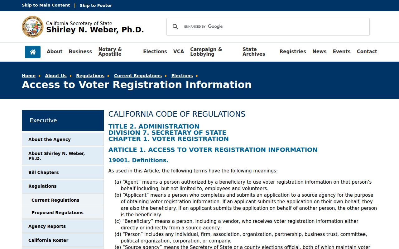
The state access screen shows why voter data is a regulated source and not a neighbor-name search.
West Covina Permits Add Block Context
City permits and code cases can explain what changed around a West Covina address. The City Clerk's request form directs people seeking permits, code enforcement, or business-license records to put the property address in the description. Add the street number, unit, document class, and date range. A file may identify an applicant, owner-builder, contractor, scope, parcel, and date, but it does not identify every person who was present.
The city publishes planning, building, and engineering application routes. As-built or substructure plans may require a CPRA request. No authoritative historical public permit-results index with a stated start year was located. Ask for the permit card or index before a large file and keep exemptions or redactions in the final note.
Use the West Covina public-records request form for address-linked municipal files.
The West Covina Police Records Bureau page is the city-record source shown below.
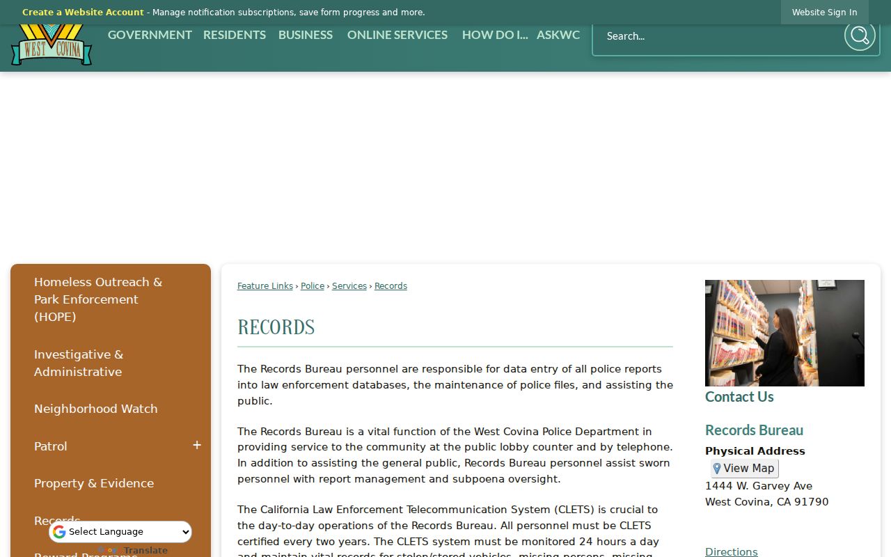
Police records are another city-custodian route with eligibility and redaction rules. A records page is not a household list.
Official Rolls and Compiled Neighbor Tools
Official records are created by a named custodian and carry a record type, date, and access rule. Compiled neighbor tools may merge parcel, directory, old address, and public filing data, sometimes with stale or conflated names. The category can be a lead, but the original assessor, deed, city, voter, or library record is the source to verify.
| Question | Official route | Limit |
|---|---|---|
| Which parcels touch the target? | GIS Hub and Assessor map | Geometry is not a survey |
| Who is tied to title? | Assessor owner route and RR/CC deed | Owner is not necessarily occupant |
| What work occurred? | City permit or code request | Files can be exempt, redacted, or incomplete |
| Which public group has a contact? | City Resource Directory or published group page | Public affiliation is not private membership |
Keep the parcel key, source URL, date viewed, and original document number. That record trail is more useful than a broad result that cannot say which custodian supplied a name.
Protected West Covina Addresses
California's Safe at Home program offers a substitute mailing address and mail forwarding for qualifying victims, survivors, and specified workers or providers. Confidential voter registration is also available for qualifying safety circumstances. Utility accounts, delivery data, DMV personal information, and private group rosters are not open sources for filling gaps in a West Covina neighbor lookup.
California Civil Code sections 1798.100 and following give qualifying consumers rights with covered businesses, including access, deletion, correction, and opt-out rights. Those rights do not erase accurate county deeds, court records, or other lawful custodian records. California's DROP program launched January 1, 2026 and sends one verified deletion request to more than 600 registered data brokers, subject to exceptions.
The California privacy-rights information is the source shown below for covered-business data rights.
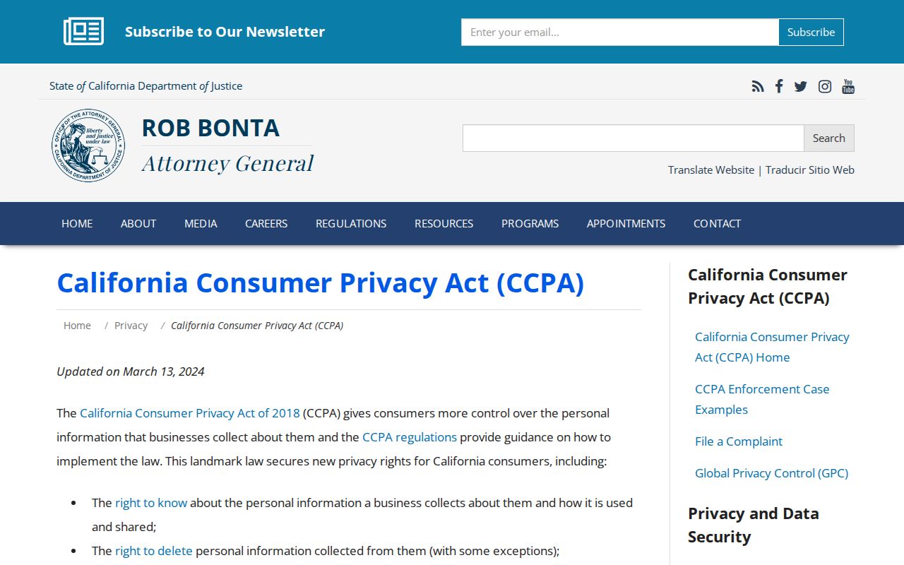
Business-held privacy rights do not turn a public parcel record into a household profile or erase a lawful custodian record.
The official Safe at Home program is the source shown in the next image.
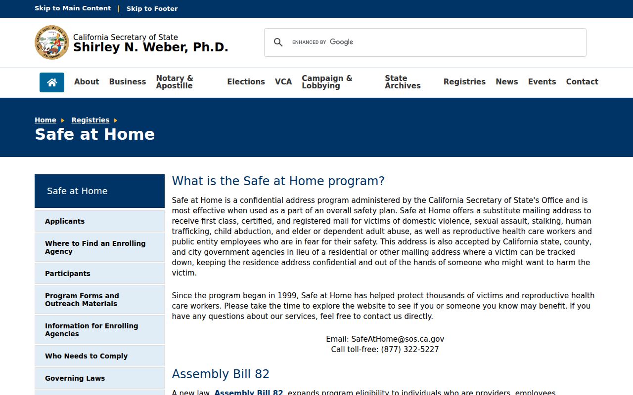
Address confidentiality is a reason to respect a missing result, not a puzzle to defeat with another database.
West Covina Data-Broker Deletion
California DROP is a timely privacy route for information held by registered data brokers, not a way to delete the county source record. One free verified request reaches more than 600 registered brokers under the Delete Act. From August 1, 2026, brokers process requests within 90 days and check or process DROP at least every 45 days, subject to exceptions. A person may use the tool for a child or some elderly relatives under the program's rules.
For a West Covina neighbor question, keep two processes separate. A broker deletion request concerns a covered business's compiled copy. A deed, court, parcel, voter, or permit correction goes to the office that created or maintains that record. Do not assume a deletion request changes an official map or public instrument.
Read the California DROP information before submitting a privacy request.
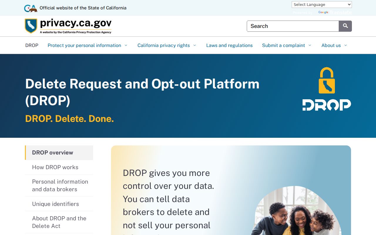
The deletion portal illustrates the difference between business-held compiled data and the public custodian records used for parcel research.
Limits on West Covina Neighbors
A neighbor lookup can establish nearby parcels, mapped streets, assessed-property clues, recorded title parties, city-file activity, and public organization contacts. It cannot prove who sleeps in a home, identify every household member, expose private accounts, or settle a boundary dispute. A public contact at an address may be a business, institution, or mailing location. A nearby owner may live in another city.
Lawful personal use. West Covina neighbor records support civic curiosity, genealogy, reconnecting, and personal safety awareness. Never use a parcel, voter, group, or address trail to stalk, harass, intimidate, or harm anyone.
When the research expands from the block to an entire named street, move to the address chain and its separate access rules. When the question becomes one person's identity, use the custodian-specific verification path. Keeping the scope small protects both accuracy and the people represented by the records.