
Finding West Covina Street Residents
A street-by-street search starts with the physical address and moves through records keyed in different ways. The parcel map gives the stable AIN. The Assessor's official owner-information route supplies a name when needed. RR/CC's recorder index then requires that name and a likely recording year. City requests use the address again. Historical directories and census schedules test whether a listed household occupied the property at a particular time. The chain is useful because every step states what it can prove.
- Normalize the exact West Covina address, including directional, street type, unit, and ZIP details. Search the Assessor Portal by address or AIN and save the parcel clues.
- Open the West Covina GIS Hub or county map. Select the target parcel and note adjacent AINs, streets, zoning context, and the municipal boundary.
- Obtain owner information through an Assessor district office or Property Data Sales. The public web portal does not expose owner-name search.
- Take the owner name and likely year to the RR/CC Norwalk index. Search the person as grantee, then follow earlier grantors through the deed chain.
- Request permits, code cases, or business-license files from West Covina by exact address and date range. Add historical directories, census, and newspapers when the question concerns past households.
Note: The address-to-AIN step is the key bridge because Los Angeles County deeds cannot be browsed online by street or APN.
AIN Search Fields for West Covina
The Los Angeles County Assessor Portal is the main current address tool in the West Covina street directory. Basic Search accepts “AIN or Address.” Legal Search and Map Search are distinct modes. A result may show the situs address, parcel map position, use or property characteristics, land and improvement values, year built, effective year built, recent parcel-change activity, and a boundary-description clue. It is an assessment record, not a public occupant list.
| Basic Search | Mode button for a direct parcel lookup |
|---|---|
| Search by AIN or Address | Required text or autocomplete input |
| Legal Search | Separate legal-description-oriented search mode |
| Map Search | Spatial browsing and parcel selection |
| Public web limit | No owner-name search; district-office or Property Data Sales route instead |
If a unit, corner parcel, commercial site, or new development does not return a result, try the nearest cross streets. Preserve both the typed address and the AIN. A later request may use one while the county record uses the other.
The official Assessor map help explains the address quirks and warns that assessment maps are not surveys.
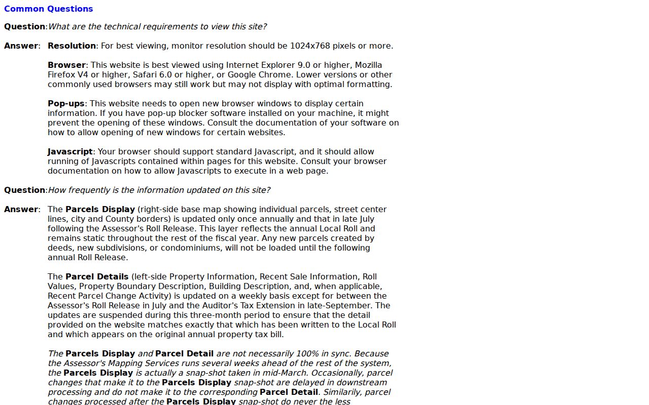
The map-help capture reinforces the street directory's first rule: capture the parcel identifier before trying to connect a street to a person.
Walking West Covina GIS Parcels
Use the city GIS Hub or the Assessor map when several properties on a West Covina street matter. Search or locate the target address, zoom to parcel scale, select it, and pan or click the adjoining polygons. Record each AIN before leaving the map. The city hub adds local streets, planning or zoning context, and municipal-boundary clues; the county map ties the parcel to assessment facts.
GIS geometry shows proximity, not a legal boundary survey. It cannot settle a neighbor dispute or prove that a person occupies a parcel. For a whole-street inventory, keep a simple research table with street number, address variant, AIN, parcel notes, city jurisdiction, and the custodian next to consult. That record prevents one parcel's owner name from being copied onto the next.
See the official West Covina GIS Hub for the city-level map and data landing page.
West Covina Records by Street
Each address-keyed record has a different meaning. The coverage table makes the street directory a chain rather than a claim that one office knows every household. Deeds are indexed by person and year. The Assessor begins with an address or AIN. City files accept an address description. Voter records require a permitted individual or file route. Historical directories describe a listed subscriber or household at compilation time.
| Record Set | Keeper | What It Shows | Access |
|---|---|---|---|
| Parcel and assessment record | LA County Assessor | AIN, situs, use, value, year-built clues | Free AIN/address portal |
| GIS parcel map | West Covina / LA County | Parcel geometry, adjacent parcels, street and city context | Free map browse |
| Deeds, liens, and notices | LA County RR/CC | Named parties, recording date, instrument and legal parcel trail | Norwalk name/year index; copies by request |
| Permit and code files | West Covina departments | Address-linked work, applications, cases, and dates | CPRA request by address |
| Historical directories | Libraries and archives | Listed names and addresses for a publication year | Local-history and regional shelves |
The AIN ties parcel facts to the map. The owner name ties the parcel to the recorder. The exact address ties city files to the request. The publication year determines whether a directory entry can speak to past occupants.
Situs, Mailing, Legal: West Covina Address Types
A West Covina street directory search can fail when three address fields are treated as one. The situs address is the physical location enrolled to the parcel. The mailing address is where assessment correspondence goes and may point away from the parcel. The deed's legal description identifies the land by tract, lot, or another land description, even when the postal street name has changed.
- Parcel
- A mapped unit identified by an AIN for assessment and land-record research.
- Situs address
- The physical location associated with the assessed parcel.
- Legal description
- The deed's land identity, which can outlast a street label.
- Plat
- A recorded map or subdivision description that helps connect lots and streets.
- Criss-cross directory
- A reverse directory arranged by address or street rather than only by surname.
Keep the postal address, AIN, tract or lot clue, and any former street form together. The Assessor's boundary-description field can help locate a lot or tract, but the county warns that it is not the formal legal description.
West Covina Permit Files by Street Number
City permits, code-enforcement cases, business-license material, planning applications, and engineering plans add an address layer to the West Covina street directory. Put the street number, directional, street name and type, unit, date span, and desired record class in the City's CPRA form. A permit card may identify an applicant, owner or owner-builder, contractor, design professional, scope of work, valuation, parcel, and dates, depending on the file. It is evidence of work at a place, not proof that an applicant lived there.
Community Development publishes administrative permit, conditional-use, site-plan, sign-review, map, variance, zone-change, residential-clearance, tree-removal, and special-event applications. Building Division is in Room 215 at City Hall, with a public phone number in the research record. Engineering says as-built or substructure plans may require a CPRA request. No authoritative open historical permit-results database with stated coverage years was located, so a focused request is the documented fallback.
Start at the West Covina Community Development applications page, then use the City public-records form when the filed record itself is needed.
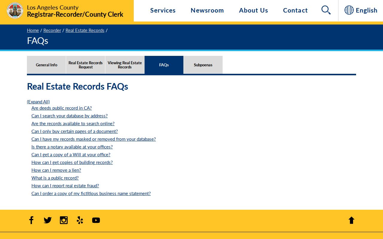
The applications page shows the front door for permit research. The address and date range make the eventual record request more useful.
Norwalk Deeds by Owner and Year
Once the Assessor route produces an owner name, the county deed trail becomes possible. RR/CC's index is alphabetical by name and recording year, with 1851-1957 records on the lower level at Norwalk and 1958-present on the second floor. Staff do not accept telephone index searches. The index cannot search an address or APN. Ask for the name-and-year path, then inspect the complete document for grantor, grantee, recording date, document number, instrument title, and legal-description clues.
Search the current owner as grantee, then search the earlier grantor as grantee in a prior year. Same-name parties need a parcel, tract, deed type, or date check before being joined. Online copy orders go through the county's recorded-document service and may take up to 20 working days; mail, fax, appointment, and in-person channels also exist. Current fees should be checked at the custodian before ordering.
The county recorder FAQ confirms the name/year indexing and the no-address/APN limit.
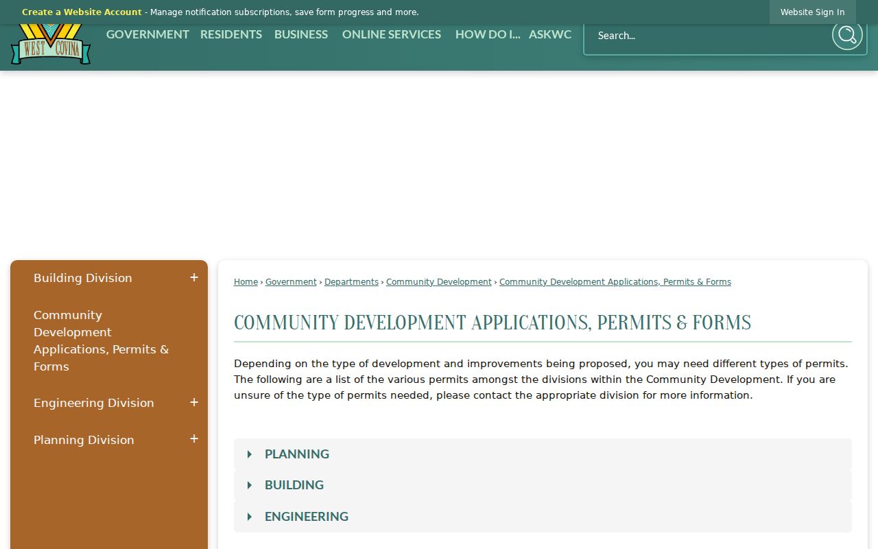
That limitation is a feature of accurate research: a street list must be assembled from parcels first, then converted into the names the recorder can search.
West Covina Streets Across Time
Street labels carry local history. Highway 99 was built as Garvey Avenue in 1935. The 1955 Interstate 10 construction split Garvey into North and South forms, and the 1972 widening altered the frontage roads. Glendora Avenue marks a grid-orientation change toward Baldwin Park. Older roads such as Service, Orange, Cameron, Vine, and Merced began as wagon routes linking groves to rail and neighboring communities.
Search a record's tract, lot, legal description, and adjacent roads when a modern street name is missing. West Covina incorporated in 1923, but its land records reach earlier and may use county, Covina, Baldwin Park, La Puente, or another postal description. The GIS Hub and Engineering Division are the starting points for current city streets. Do not claim a historic renumbering year without a map, council record, tract map, or directory cross-reference.
Note: Postal city, ZIP Code, incorporated boundary, situs address, and deed legal description can describe the same parcel in different ways.
Reverse Directories on West Covina Streets
When a street directory question reaches backward, reverse or criss-cross volumes provide the address-to-listed-name half that deeds cannot. The West Covina Library offers local-history help, microfilm equipment, and regional newspapers. The 1950 and 1955 Pacific Directory Co. volumes are verified sources, while the city bibliography lists other dates without publishing a complete run. A directory entry reflects the publication snapshot. It may omit a household, use initials, or show a telephone subscriber rather than every person present.
Pair the street entry with the 1950 census, whose West Covina finding-aid range is enumeration districts 19-701 through 19-706. Then compare a first permit, newspaper notice, obituary, or deed. The Historical Society of West Covina at 336 S. Glendora Ave. can be asked about subdivision files, Chamber booklets, photographs keyed by street, and its “Business and Commercial 1960-1980” clipping bin. Holdings and reproduction rules require direct contact.
Owner information can be unavailable online even when the street map is clear. The Assessor district-office route is the documented way to ask about the owner field.
The office route completes the address-to-name bridge without pretending that an open web owner search exists.
West Covina Street Directory Limits
A street directory can show parcel facts, recorded title parties, city-file names, and listed historical occupants. It cannot show every person in a household, private utility or delivery accounts, DMV address data, or protected voter information. A matching owner and situs address is consistent with owner occupancy but does not prove who is physically present. A nearby parcel owner may live elsewhere, and a non-owner household member may never appear in a public index.
California's Public Records Act does not override record-specific closures. Driver data is restricted under the federal Driver's Privacy Protection Act and California Vehicle Code provisions. Elections law controls voter access and use. Vital, juvenile, adoption, sealed-court, and protected-address records have their own rules. When a result is missing, consider another custodian, a different spelling, a date gap, or a lawful request before treating the absence as an answer.
Lawful personal use. West Covina street and address records are appropriate for genealogy, house history, reconnecting, and civic curiosity. Do not use them to stalk, harass, intimidate, or harm anyone.