
West Covina ZIP Code Coverage
The four ZIP codes in the West Covina ZIP code directory are broad routing identities, not surveyed polygons. The descriptions below reflect the research record and useful city associations. Exact edges must be checked address by address through USPS and then against the official city or county map before a parcel request is sent.
| ZIP | Areas Covered | Post Office | Notes |
|---|---|---|---|
| 91790 | Central and western West Covina, including the City Hall mailing area | West Covina routing | Exact edges need USPS verification |
| 91791 | Northern and eastern West Covina addresses | West Covina routing | Not coextensive with civic service boundaries |
| 91792 | Southeastern delivery area near Walnut and La Puente interactions | West Covina routing | Check parcel jurisdiction at the edge |
| 91793 | West Covina Post Office and PO-box-associated mailing identity | 396 S. California Avenue | Do not assume a conventional residential polygon |
West Covina's City Hall address uses 91790. The Post Office facility at 396 S. California Avenue is listed as 91793-9998 and offers PO Box and retail or carrier services. Facility ZIP, delivery ZIP, and the ZIP attached to a specific address can differ in meaning.
91793 and West Covina Post Office
ZIP 91793 deserves a separate check because the West Covina Post Office record at 396 S. California Avenue uses 91793-9998 and carries PO Box service. USPS facility information is evidence about the post office, not a map of every house that uses that ZIP. A PO Box identity can also describe a delivery relationship without describing a parcel's municipal location.
Use the USPS location record for facility hours and services, then use the exact-address ZIP form for a street. Keep the facility address out of a parcel or resident inference. The West Covina GIS Hub and Assessor Portal answer the land and jurisdiction questions that USPS does not.
Open the official West Covina Post Office record before using 91793 as a search refinement.
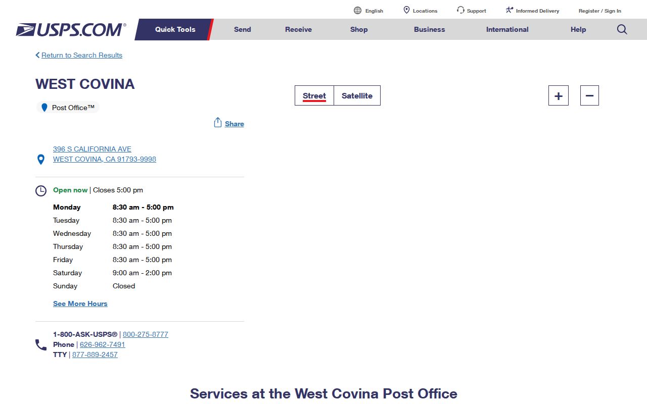
The facility record makes the ZIP distinction visible: a post office location and a residential delivery area are not the same layer.
Verify West Covina Addresses by ZIP
When a street, city, and ZIP conflict, USPS is the first exact-address verifier. Use the address form, then preserve the returned ZIP with the typed street format. After that, use the AIN or address in the Assessor Portal. Only once the parcel is identified should a West Covina public-record request be directed to the City Clerk or a county request be sent to RR/CC.
- Enter the street address, city, and state in the USPS ZIP Code Lookup.
- Save the standardized street form and returned five-digit ZIP, noting any unit or directional change.
- Search the Los Angeles County Assessor Portal by AIN or address and record parcel, city, and boundary clues.
- Compare the parcel with the West Covina GIS Hub before assuming that a “West Covina” postal city means the incorporated city.
- Use the exact address and date range in a city CPRA request, or switch to the county custodian for a deed, tax, or vital record.
Once one ZIP narrows the search to a known street, the address chain continues in the West Covina street records workflow.
West Covina ZIP Search Fields
Not every West Covina source actually searches by ZIP. The field distinction matters because a contact ZIP can look like a record filter even when it is not. USPS returns an address ZIP. The Assessor accepts AIN or address. The city resource directory searches by initial, category, and name. The City CPRA form asks for the requester's ZIP but uses free text, department, and dates to describe the records.
| USPS street address | Exact street, city, and state; returns authoritative delivery ZIP |
|---|---|
| Assessor Basic Search | AIN or property address; no ZIP-wide owner search |
| Resource Directory | Initial A-Z or All, category dropdown, name text; result addresses may show ZIP |
| City CPRA request | Requester contact ZIP plus free-text document description and date pair |
| Recorder index | No ZIP or address field; indexed by person name and recording year at Norwalk |
A ZIP code directory search therefore organizes a research plan rather than querying one resident database. Use the ZIP to find the right address form, then move to the custodian whose fields fit the actual record.
West Covina Situs and Mailing ZIPs
Parcel and postal fields can disagree without either being wrong. The situs address is the physical location enrolled to the parcel. The owner mailing address is where assessment correspondence goes and may be in another city or ZIP. The legal description identifies the land by lot, tract, or other recorded terms. The postal address is a delivery label. An AIN is the county's stable parcel lookup key. The tax PIN printed on an annual bill is a different number.
- Postal code
- A USPS delivery geography used to route mail, not an incorporated boundary.
- ZIP+4
- An expanded delivery code that refines a postal address beyond the five-digit ZIP.
- PO-box ZIP
- A ZIP associated with box delivery or a facility identity, not necessarily a street parcel.
- Unique ZIP
- A code assigned to a specialized or limited delivery identity rather than a broad residential area.
- Carrier route
- A delivery path within the postal system, distinct from parcel ownership or city jurisdiction.
When an Assessor city designation looks unfamiliar, check the map help. The county says the displayed city can be a municipality, neighborhood, or internal cluster while the ZIP is intended to remain accurate.
West Covina ZIPs Versus City Limits
A West Covina postal city can occur outside the incorporated boundary, and a parcel inside the city can carry a mailing convention that feels connected to an adjacent community. Postal codes are delivery routes. City limits are legal jurisdiction. Assessment clusters can use their own city designation. None of those labels alone decides whether West Covina departments hold a permit or code file.
Use the city GIS Hub for municipal context and the county Assessor map for parcel placement. If the address lies near Walnut, La Puente, Covina, Baldwin Park, or another boundary, identify the AIN and jurisdiction before writing the City Clerk. A county deed or vital record goes to RR/CC regardless of the postal label.
View the West Covina GIS Hub and compare it with the LA County Assessor Portal when a ZIP search reaches an edge.
ZIP Records From USPS to AIN
After USPS returns a ZIP, the best next record is usually the county parcel record, not a ZIP-wide name search. The Assessor can show the AIN, situs, use, values, year-built clues, and map context. Owner names are suppressed online. The recorder has no ZIP filter and no public online address index. City files can be requested by property address, while historical directories need a publication year and a name or street arrangement.
This sequence keeps the ZIP code directory honest. ZIP narrows delivery geography. AIN identifies the parcel. The city request identifies a local file. A name and year open the recorder's index. A directory or census supplies a dated listed household. Each step has a different access channel and a different limit.
Note: The ZIP on an owner mailing address can describe correspondence delivery rather than the parcel or the person's current location.
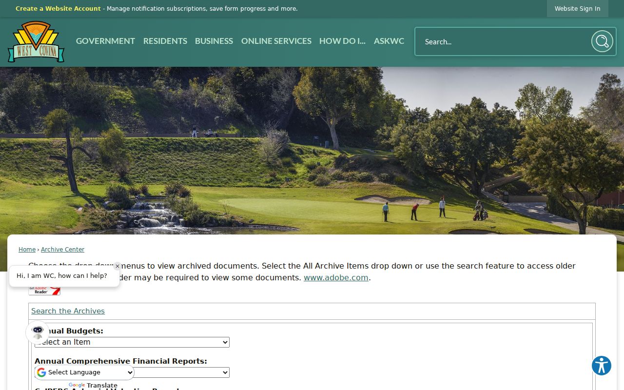
The West Covina City Archive Center keyword, archive, time-period, and date fields show how a local records search can accept dates rather than a ZIP filter.
West Covina Service Geography
Service-area maps can add local context to a ZIP code directory without becoming resident lists. West Covina Police divides the city into North, East, Central, and South service areas, reached through the department's official contact route. The Neighborhood Watch page explains how residents form a group, name a lead contact, and work with a service-area lieutenant. It does not publish a member roster.
School finders and district maps also answer service-area questions, not who lives at an address. The city Resource Directory can show public organization contacts and ZIPs, but its documented search controls are initial, category, and name. Treat every service map or directory as a separate geography and purpose.
Check the West Covina Police service areas for an official civic contact route.
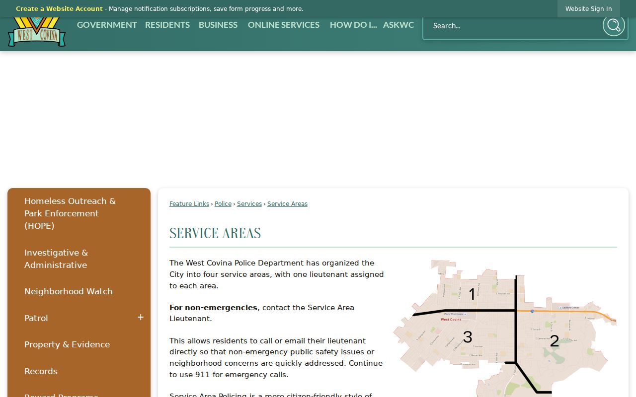
The service-area view is useful for routing a civic question, but it should not be mistaken for a ZIP or household map.
West Covina School Address Clues
School locations and district contact pages can help explain why a ZIP address is associated with a service geography. They do not identify the children or adults at a home. Use a school or district source to check a historical school name, yearbook contact, or attendance-finder route, then verify any family-history fact through a permitted archive or original publication.
WCUSD's school list is a contact route for legacy yearbooks and school-history questions. Exact yearbook runs were not cataloged in the research, so a result should state the school, year, and archive that actually supplied it. The postal code remains a delivery clue, not a substitute for the school record.
Use the documented West Covina Unified school list when a ZIP-based history question turns toward a school.
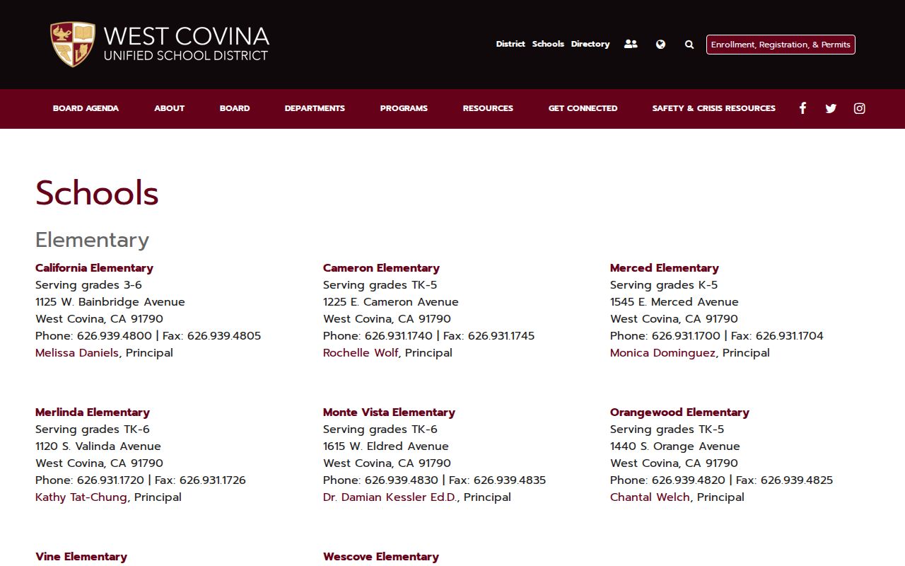
The school directory shows a public institution map, not a list of students or households.
Limits of a West Covina ZIP Search
A ZIP code cannot reveal every resident, prove municipal jurisdiction, expose the recorder's index, or replace a parcel's legal description. It may also cover PO boxes, commercial addresses, or a postal city that crosses a civic line. When a name search is the actual goal, move from the exact address to the AIN and then choose the county, city, court, library, or state source that owns the needed record.
Lawful personal use. West Covina ZIP and address research is appropriate for genealogy, reconnecting, civic curiosity, and personal safety awareness. Do not use postal or parcel clues to stalk, harass, intimidate, or harm anyone.
Keep the standardized USPS address, returned ZIP, AIN, map jurisdiction, and request receipt together. That small audit trail makes it easier to correct a wrong routing assumption with the actual custodian.
The official Neighborhood Watch program is the civic-contact source shown below.
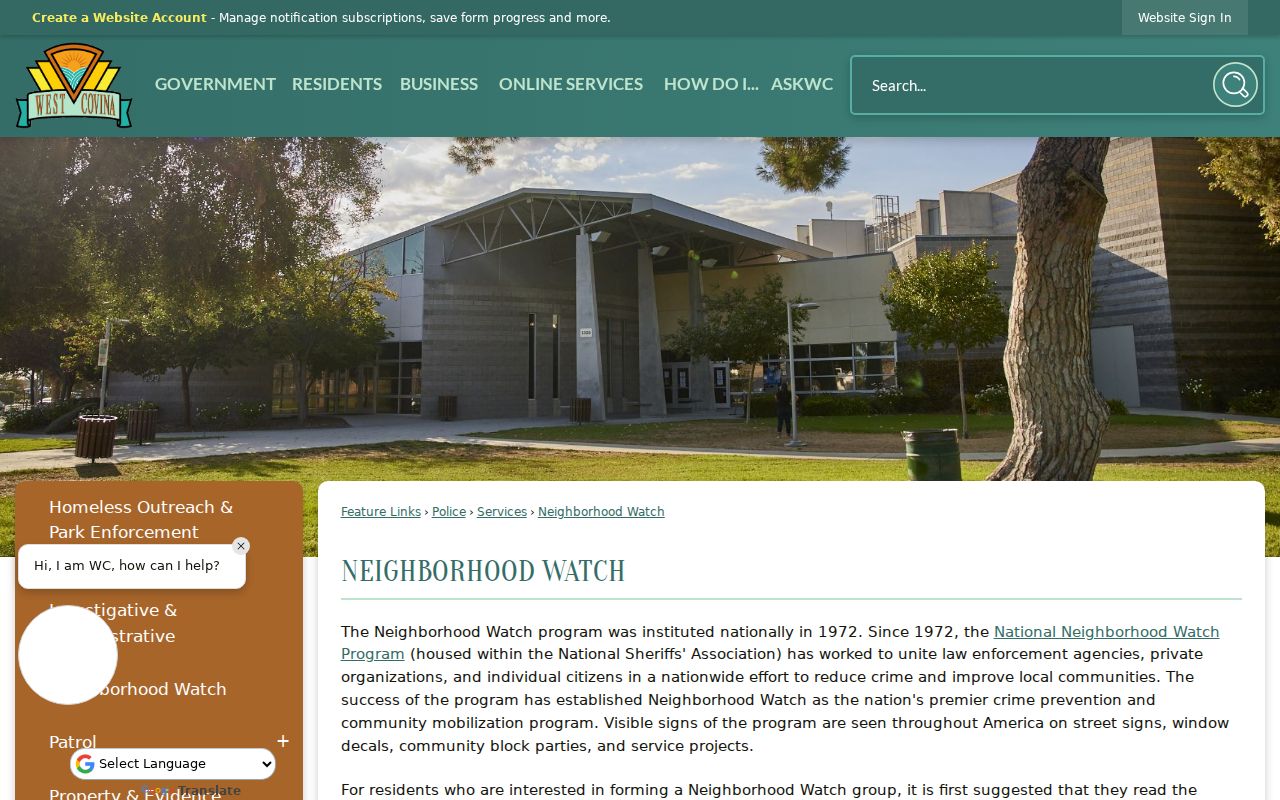
Community contact guidance can support a local question without turning a postal code into a public resident roster.